Building supervision measurements
Building supervision measurements include construction site marking and location inspections.
Introduction
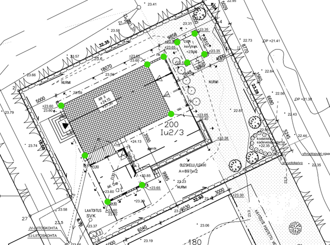
…eted - more precisely, when the corners of the plinth are visible, and at least a part of the plinth has been built to its final height.
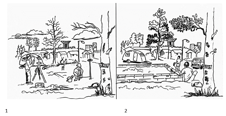
1: The terrain marking of a building: The location of your building is marked with wooden posts, and elevation markers are brought to the construction site.
2: The location review of a building: Once the foundation wall is finished, its location, measurements and elevation are checked.
The terrain marking and location review of a building
The necessity for the measures is determined in the building permit decision.
More information
Building supervision measurements
09 839 22279 maastomittaus@vantaa.fiOn-duty hours are from 9:30 to 12:00.
Units
Service has 1 units in total